Spatial Data Set of (Geo) Reference Base Cadastre (GRPK) – state cadastre, which contains natural and anthropogenic objects of the land surface (road, street, railway, stream, canal and drainage ditch axis lines, rivers, lake and pond boundaries, building boundaries, forest boundaries, boundaries of agricultural land, geodetic base points, land surface (height) points).
From 2018-01-01 the owner of GRPK is the Ministry of Agriculture, manager - SE Remote Sensing and Geoinformatics Center "GIS-Centras".
GRPK data and information:
- Spatial Data Set Of (Geo) Reference Base Cadastre (specification).
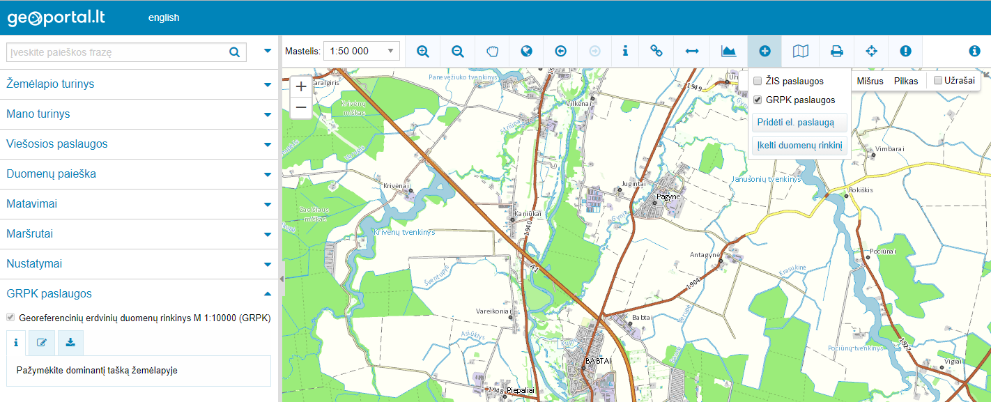
- Georeferenced base map at scale 1:10 000 (GRPK map).
Until 2017-12-31 Spatial Data Set Of (Geo) Reference Base Cadastre was called GDR10LT spatial data set.
GRPK data and information on the Lithuanian Spatial Information Portal:
- Spatial Data Set Of (Geo) Reference Base Cadastre (Data view and download link: GRPK data).